
Drawing insights from an analysis of open literature, Beca’s Jessica Tucker explores the necessity for advanced drone detection and identification systems in natural disaster relief.
This article is the first part in our new series exploring how cutting-edge technology can make everyday better for the Aerospace sector. Here's Part 2, 3 and 4.In recent years, the proliferation of drones has introduced both great opportunities, and significant challenges across a range of industries.
Drones, or Uncrewed Aerial Vehicles (UAVs), have proven invaluable for tasks such as aerial surveillance, disaster relief and logistics. However, their increased presence in low-altitude airspace also raises critical safety concerns, particularly during natural disasters when airspace may already be congested with emergency response efforts.
Understanding the low-altitude threat landscape
During natural disasters, low-altitude threats like UAVs become increasingly prominent in airspace near critical infrastructure, such as airports and emergency response hubs. While bird strikes have long been recognised as significant hazards, UAVs represent an emerging and complex challenge. Careless or malicious UAV operations can lead to collisions or temporary shutdowns of airspace, potentially delaying lifesaving interventions during crises.
The risks posed by UAVs are exacerbated by their accessibility and affordability, making them ubiquitous tools for amateur and professional operators alike. However, their misuse, whether intentional or unintentional, can disrupt emergency responses and compromise safety. For instance, UAVs operated in restricted zones during wildfires have forced firefighting aircraft to abandon operations, putting both property and lives at greater risk.
The role of advanced detection technologies
Effective UAV detection and identification systems are crucial to mitigating these risks. Several technological advancements in recent years enhance the ability to detect and track UAVs in real time. Frequency Modulated Continuous Wave (FMCW) and Inverse Synthetic Aperture Radars (ISAR) have shown promise in producing detailed imaging and tracking data for UAVs and other low-altitude hazards.
Yet, no single technology offers a comprehensive solution. Acoustic sensors, while effective in detecting UAVs in quieter settings, struggle in noisy, disaster-stricken areas. Combination radar-infrared-acoustic systems can identify UAVs even under challenging environmental conditions, such as poor visibility or high noise levels. Remote ID detection systems and radio frequency (RF)-based sensors can provide critical details about UAV operators, but are limited by range and compliance issues. These limitations underscore the importance of integrating multiple technologies to create a robust detection system.
Application during natural disasters
The need for such detection systems becomes especially apparent during natural disasters, where airspace management is crucial for coordinating relief efforts. In January 2025, a collision between a UAV and a firefighting airplane reduced the water-dropping capability needed during Los Angeles' Palisades Fire. Thankfully no lives were lost in this frightening incident, however it clearly demonstrated the inherent hazards of crowded airspace.
Elsewhere, search-and-rescue missions often rely on helicopters and UAVs to survey affected areas. Unauthorised UAVs in these scenarios risk confusion and delayed operations. The implementation of effective radar and AI-powered detection-identification systems could support emergency responders by providing real-time situational awareness, reducing the likelihood of collisions, and ensuring that only authorised UAVs operate within designated airspace.
Addressing existing gaps
Despite promising advancements in detection technology, several gaps remain. Existing systems, some originally designed for military applications, may not be suitable for rapid mobile deployment. Additional research is needed to improve detection accuracy and range, especially around multi-sensor identification and predictive behaviour modelling. More data is also needed to expand the datasets of "cataloguing" various UAV models. This information could help refine identification algorithms and enhance the reliability of systems deployed in disaster-prone areas.
A collaborative path forward
To ensure the successful deployment of detection and identification systems during natural disasters, collaboration among stakeholders is essential. Developers, regulatory bodies, and emergency response organisations must work together to establish standards and best practices for integrating these technologies into disaster management protocols. Furthermore, continuous investment in research and development will be necessary to address evolving threats and improve system capabilities.
In conclusion, as natural disasters become more frequent and severe due to climate change, the need for advanced detection and identification systems will only grow. Stakeholders can take proactive steps to safeguard airspace and enhance the effectiveness of emergency response efforts. While challenges remain, the integration of cutting-edge technologies and collaborative approaches offers a clear path toward safer, more efficient airspace management during times of crisis.
Acknowledgements
The author would like to thank Shaun Cole-Baker, Yazan Sinjab, Nathan Pages, and Robert McGivern for their contributions to this piece.
Learn more about Beca’s Defence & National Security capability, including our work in the Aerospace domain here.
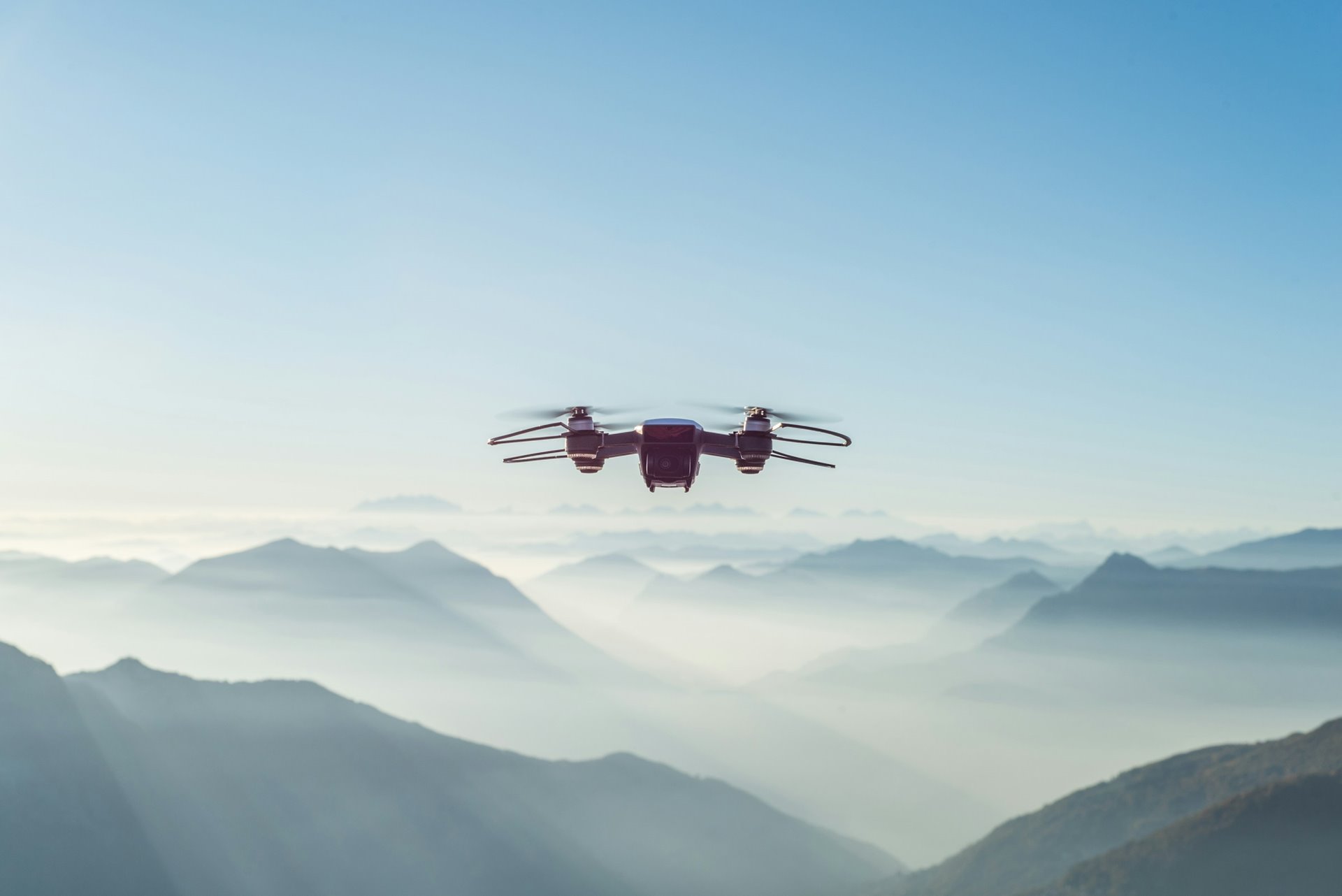
Image Credit: Alessio Soggetti

About the Author
View on LinkedIn
Email Jessica Tucker
Jessica Tucker
Principal - Systems Engineering


